
Research on the 2018 Camp Fire
The Camp Fire was deadliest and most destructive fire in California history. The fire burned rapidly and destroyed the town of Paradise. The fire burned a total of 153,336 acres destroying 18,804 buildings and was responsible for 85 civilian fatalities. The ignition was caused by faulty transmission equipment during a strong downslope windstorm event. The total financial cost of the fire is estimated to be $16.5 billion.

Image of the camp fire By NASA (Joshua Stevens) - NASA Landsat 8 Operational Land Imager (8 November 2018).
deployment to the camp fire on 8 november 2018
Our team deployed to the Camp Fire just a couple hours after ignition. We arrived in the early afternoon and started making observations of the plume and the atmosphere with the mobile Doppler lidar. These data were used in our analysis of the meteorological conditions of the event which are published here:
Brewer, M. J. and C.B. Clements (2020) The 2018 Camp Fire: Meteorological Analysis Using In Situ Observations and Numerical Simulations, Atmosphere, 2020, 11(1), 47, https://doi.org/10.3390/atmos11010047

Wind profiling measurements from the south flank on pentz road, 8 november 2018, CAmp Fire.
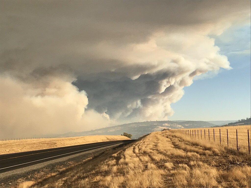
The Camp fire plume on 9 November 2018.